Mapping the World’s Forests
 Get this Guide
 Find Training
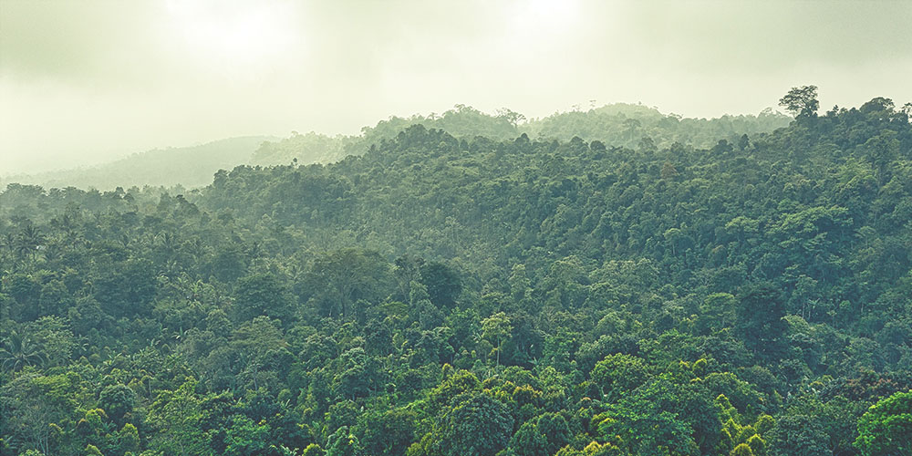
Identifying, documenting, classifying, and accurately mapping the diversity of forests found around the world is an active, ongoing process. A holistic system of global ecological zones related to simple, well-known climate characteristics and vegetation types is now used to classify the world’s forests. In this activity, students will examine this system to see how temperature and moisture determine the type of forest in a given locale.
This is one of 9 activities that can be found in PLT’s Exploring Environmental Issues: Forests of the World module. To get the activity, attend a training and receive PLT’s Forests of the World secondary module. Below are some supporting resources for this activity.
EE Resources
Tree Dreams
Read Tree Dreams, an eco-literacy coming of age novel for grades 8-12, written by award-winning Kristen Kaye. The story emerged from a campaign to bring tree tagging to life. Kaye’s vision was to tag trees with dreams about the way we connect to nature, to each other, and to our future. She explains that “like trees... Read more »
SeedSmart
Teachers and students can use SeedSmart to find answers to basic questions about a site you might be wanting to restore. Some of these questions include: Which species are native here? What are the important soil characteristics I should know about? Which plants grow best in this setting? Which plants will be more likely to... Read more »
Forest Atlas of the US
The US Forest Service created a complete Forest Atlas of the United States. It covers everything from tree pollen count to owl habitats to agroforestry practices, using a range of the Forest Service’s resources. Use this in your classroom to give your students a comprehensive understanding of what American forests have to offer!
Interactive Map Shows World’s Changing Forest
Curious about how forest cover has changed during the past several years in your area- or beyond? This interactive online map allows you to see forest loss around the world. Researchers found that the dynamics of forests in the south-east United States are unique. As a result of an intense cycle of tree planting and... Read more »
Canopy in the Clouds
This website provides an immersive video experience that presents an up-close look at a tropical montane cloud forest. Visitors click on numbered links to access video clips and background information for teachers and information for grades 6-8 on topics such as water, weather, soils, ecology, and the science processes. Canopy in the Clouds is also... Read more »
FAO’s Global Forest Resources Assessment
The Food and Agriculture Organization of the United Nations (FAO) has monitored the world’s forests at 5 to 10 year intervals since 1946. The State of the World’s Forests 2020–Forests, Biodiversity and People, examines the contributions of forests, and of the people who use and manage them, to the conservation and sustainable use of biodiversity. For... Read more »
Sample Lesson Plan Presentation
Use this Lesson Plan Presentation as an example.
Encounters: Wild Explorer
The public radio program Encounters: Radio Experiences in the North explores the natural history of Alaska and the Far North. An accompanying website offers K-12 teachers links to the episodes as well as resources, such as slideshows, videos, and sound clips, introducing the animals and habitats of the regions: beavers, bears, caribou, humpback whales, boreal... Read more »
EnviroAtlas
EPA’s new EnviroAtlas tool is designed to help communities and researchers make informed planning and policy decisions related to the environment and ecosystems. EnviroAtlas provides datasets and interactive tools to allow users to explore the many benefits people receive from nature, often referred to as ecosystem services. EnviroAtlas includes over 300 data layers, letting users... Read more »
Global Forest Watch
Global Forest Watch (GFW) is an interactive online forest monitoring and alert system designed to better visualize forest change across the globe. Developed by the World Resources Institute and partners, Global Forest Watch monitors forests across the world in near real time to show where trees are growing and disappearing. The system provides contextual data that fleshes... Read more »
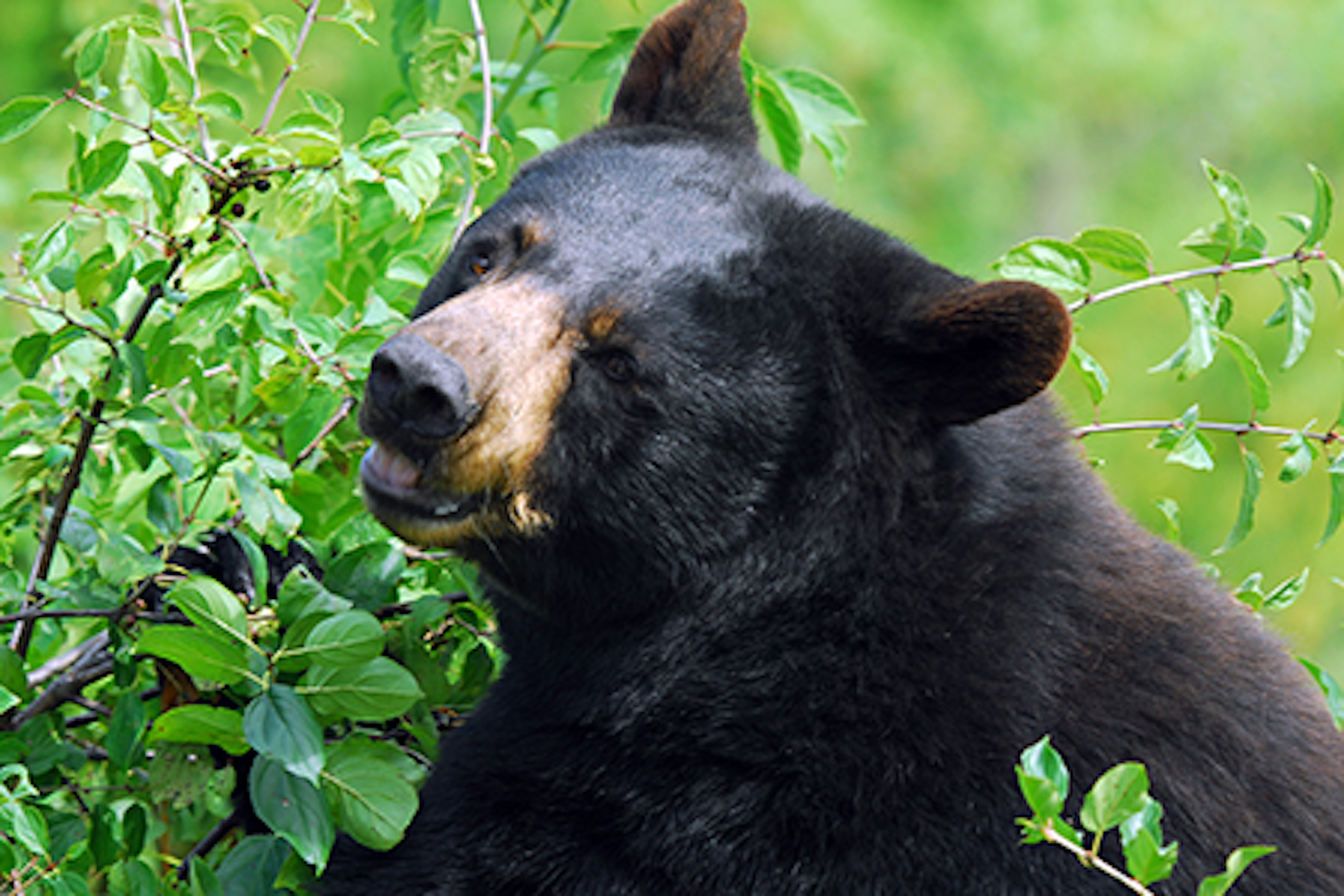
Bears of the World: Interactive Range Map
Blue Raster and Bear Trust International’s interactive world map shows students and educators in grades 9-12 where eight different species of wild bears live. The map includes photos and facts on American and Asiatic black bears, brown bears, giant pandas, polar bears, sloth bears, and sun bears.
Login to download supporting materials such as appendices and teaching tips.
LoginYou Might Also Like
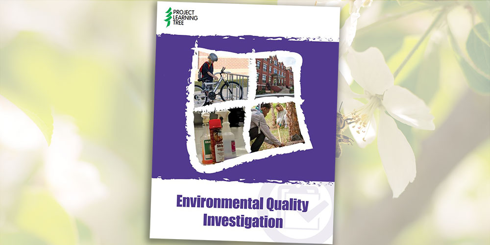
Environmental Quality Investigation
Students investigate areas where improvements can be made in indoor air quality, transportation, chemical use, and more.
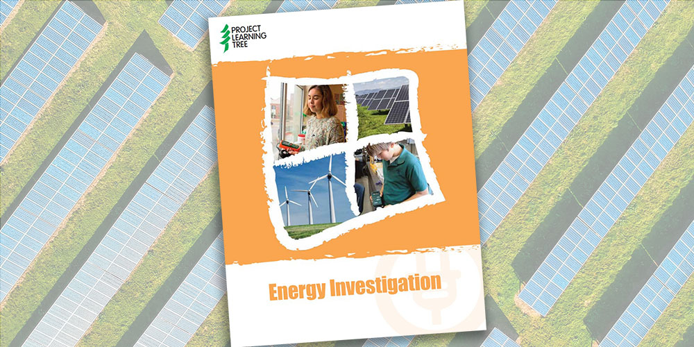
Energy Investigation
Students investigate how much energy their school uses, the main sources of that energy, and ways to implement energy-saving strategies.
Learn About Forests: Web of Life
This Learn About Forest activity is perfect for forest sector professionals leading educational events, career days, or field visits with youth. By creating a physical web, learners model the interconnectedness of organisms in an ecosystem.
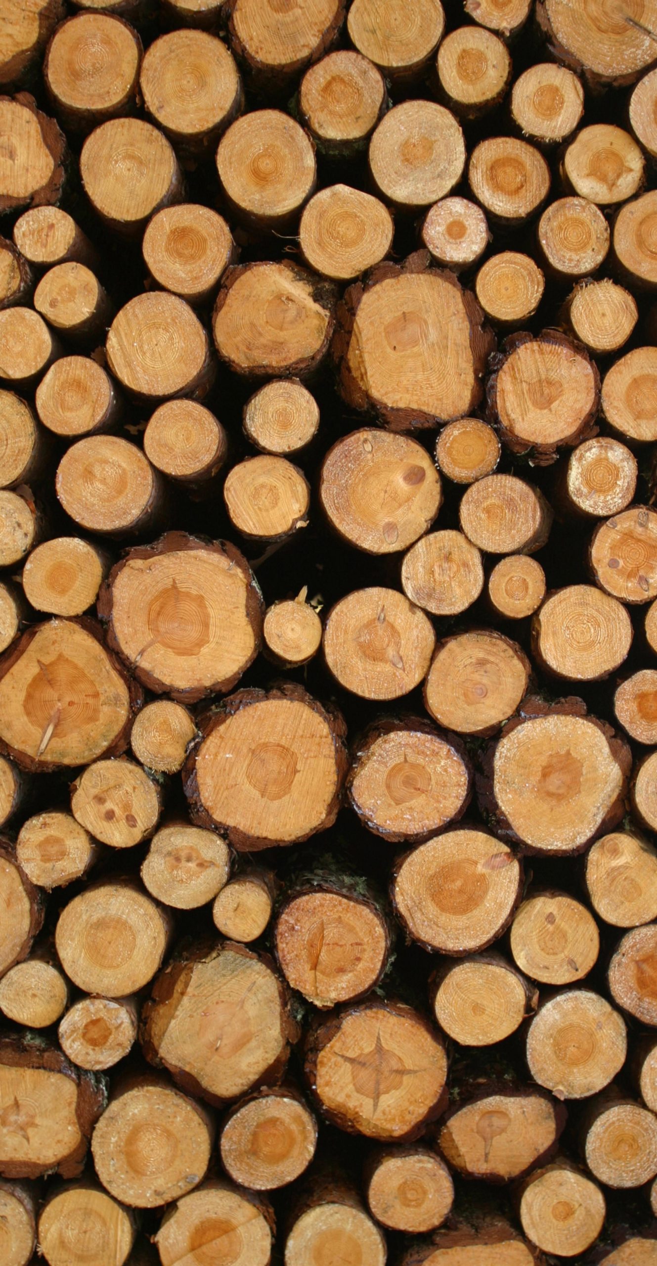
Learn About Forests: Tree Cookies
This Learn About Forest activity is perfect for forest sector professionals leading educational events, career days, or field visits with youth. Learners examine cross-sections of trees and infer from a tree’s growth rings.