Neighborhood Design
 Get this Guide
 Find Training

Students explore the current layout of their neighborhoods, critically evaluate a variety of development options, and formulate ideas for guiding further growth in their communities.
This is one of 8 activities that can be found in PLT’s Exploring Environmental Issues: Places We Live module. To get the activity, attend a training and receive PLT’s Places We Live secondary module. Below are some supporting resources for this activity.
EE Resources
Transit-Oriented Neighborhoods
This report attempts to understand who lives near transit today and who is expected to live there in 25 years, with the desired outcome of creating a dialogue between those who want to ensure high-quality transit service and those who want to ensure high-quality neighborhoods.
EnviroAtlas
EPA’s new EnviroAtlas tool is designed to help communities and researchers make informed planning and policy decisions related to the environment and ecosystems. EnviroAtlas provides datasets and interactive tools to allow users to explore the many benefits people receive from nature, often referred to as ecosystem services. EnviroAtlas includes over 300 data layers, letting users... Read more »
Why Trees? Video
As we know, trees represent more than just beautiful natural elements of our land, they also provide shade, manage water, stop erosion, protect streams, soothe the soul, clean the air, protect the quality and health of water, and attract homeowners, renters, and shoppers. Check out this Doodle Lecture created by Alabama Cooperative Extension that unveils... Read more »
Login to download supporting materials such as appendices and teaching tips.
LoginYou Might Also Like
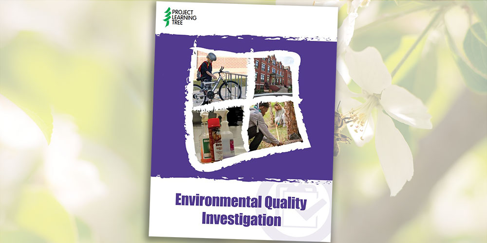
Environmental Quality Investigation
Students investigate areas where improvements can be made in indoor air quality, transportation, chemical use, and more.
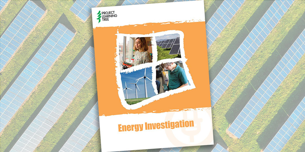
Energy Investigation
Students investigate how much energy their school uses, the main sources of that energy, and ways to implement energy-saving strategies.
Learn About Forests: Web of Life
This Learn About Forest activity is perfect for forest sector professionals leading educational events, career days, or field visits with youth. By creating a physical web, learners model the interconnectedness of organisms in an ecosystem.
Learn About Forests: Tree Cookies
This Learn About Forest activity is perfect for forest sector professionals leading educational events, career days, or field visits with youth. Learners examine cross-sections of trees and infer from a tree’s growth rings.